Route roadmap
Your journey, day by day
Dehradun — Borasu Pass Trek — Dehradun
- 1
Day 1
Pick up from Dehradun Railway Station and Drive to Sankri (base camp) by taxi
Total distance 210 – 8/9 Hours journey Mode of journey – By taxi or Traveller Altitude Sankri base camp – 1920 meters Night stay – Hotel Trek on India organizes transport for trekkers from Dehradun Railway Station in the morning which will leave for Sankri around 6:00 am to 7:00 am. Dehradun is the capital of Uttarakhand and one of the most beautiful places in India. The main attraction of this place is Rajpur road go through it and get a glimpse of Dehradun’s beauty. Reach Mussoorie after an hour which is also known as “Queen of Hills”. People visit it heavily during vacations with their family and friends. After half an hour, stop at kempty fall. Have breakfast there and witness people from different parts of the world. The break will be of a maximum of 1 hour. Ahead the peaks are visible and further you will come close to holy Yamuna River. If you want, then take a short break of 20 minutes and enjoy being around it. Further, you will cross the small markets of Nainbagh, Damta, and Naugaon. Reach Purola around 1:30 pm and take a break there for lunch. After having lunch proceed to Sankri via Jarmola. From there the back of Kedarkantha is visible. Go through the picturesque zig-zag road amid the pine forest of Jarmola. Reach Mori and after 1 hour you will come across a check post. They will ask for Aadhar cards and some other details. Ahead lies Sankri, enjoy the drive and the wait is soon going to be over. Reach trekkers paradise and the main market of Sankri. Go to hotel freshen up and enjoy evening snacks in the open terrace with great views. You will be provided with some details after which you can go for an evening walk but be at the hotel for dinner. Enjoy delicious dinner and spend a comfortable night in the mountains
- 2
Day 2
Trek from Sankri to Taluka by taxi – 11 km same day trek to Cheludgad camp
Total distance 23 km – 4/5 Hours journey Mode of journey – On foot – 12 km – By taxi 11 km Altitude Cheludgad camp – 2600 Meters Night Stay – Our Campsite – on a twin share basis After breakfast, ready to all trekkers we will drive towards Taluka on the way beautiful forest many species of tree, Taluka is a small village with concrete houses and you can easily find few shops and hotels there. Trek starts from Taluka and the sight of magnificent snow-clad mountains accompany you all along the way. Go ahead, cross a bridge over a stream and follow the trail. Pass through dense forest and a Supin river on the way is visible flowing through the woods below. Continue trekking and a village named Dhatmir comes into right sight. Ahead lies a lavish green meadow, which further leads to the forest section. The trail changes to the mixture of steep and leveled path and afterward to muddy. After some hours of trekking, Supin River can be seen flowing through the woods. Now, again cross the forest section and reach the green fields and a shop on the way. From here, cross a bridge and a little higher you are welcomed by the surpassing views of towering peaks. To reach Cheludgad campsite today, set up your camps here and retire for the night. Enjoying the first camping night here.
- 3
Day 3
Trek from Cheludgad camp to Har Ki Dun Camp
Trek Distance – 13 Km – 6/7 Hours journey Mode of the journey – On foot – 13 km Altitude – Har Ki Dun camp – 3645 Meters Night Stay – Our Campsite – on a twin share basis Waiting for you this beautiful Morning you feel that peace is all around. You will be getting ready for the Har Ki Dun. 1.5 Km distance from our campsite, you will cross the Supin River. From here you can see the Osla Village, which is the last village in this area. There is a hard climb of about 800 meters. This route is used to reach the main route. After that, you will go through the beautiful straight path. After resting 10-15 minutes in Kalkati Dhaar, flat grasslands will be visible throughout the route. You will not even know that When you reached Har Ki dun. After going on the Har Ki Dun Trek you feel like staying at this place. Har Ki dun is known globally. People come from abroad to visit Har Ki dun Trek. People become happy by looking at the litigants. This place is highly rich in flora and fauna, so enjoy spotting a different variety of trees and animals in this region. Ahead cross bridges, come upwards and a waterfall comes into sight. Come across many streams on the way which you will be crossing with the help of boulders. Then the trail becomes steep and further gets leveled. A Supin river on the left will remain in sight until you reach Har Ki Dun campsite enjoy the moon night here
- 4
Day 4
Trek from Har Ki dun camp to Ratta Dho Camp
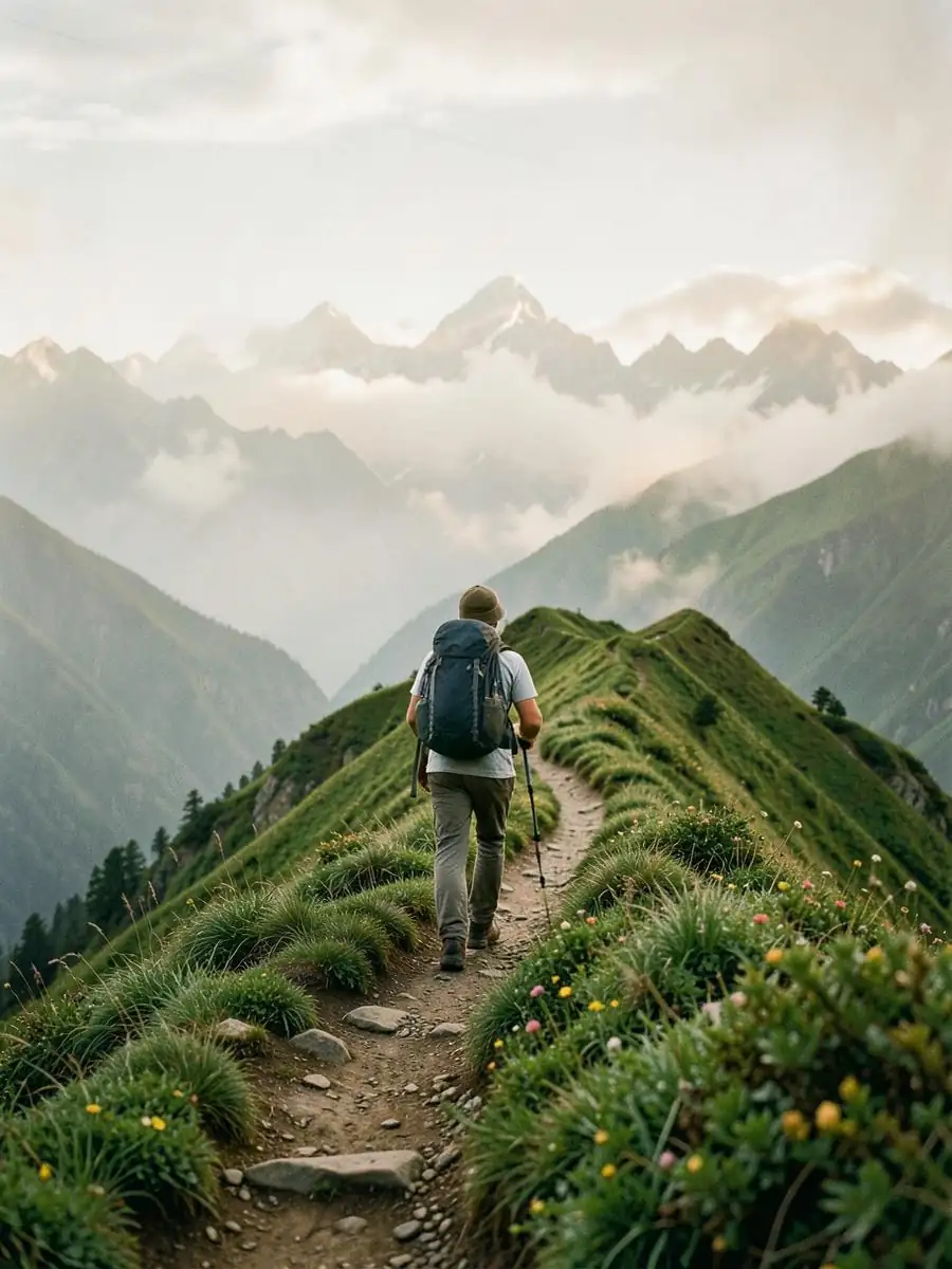
Trek Distance – 08 km – 4/5 Hours journey Mode of journey – on foot – 08 km Altitude – Ruinsara lake camp – 4105 Meters Night Stay – Campsite – on twin share basis Today after breakfast start trek Ratta Dho is also known as Lal Patthar. Today’s trek is not difficult but is 8 km long which you can be covered in 4 to 5 hours’. Follow the trail on which the Har Ki Dun Rivers flows on right. You have to climb the valley through the muddy trail, cross this section and witness a vast meadow present in front on the other side of Supin River. This place remains all green in summers and becomes white due to snow in winters. Ahead, the trail gets narrower and Manida Lake will come into sight after few minutes. Further, reach a picturesque green meadow blooming with colorful wildflowers. After a gradual climb, reach your campsite Rattha Dho (Lal Patthar). The campsite lies before Borasu Glacier, a field with yellowish grass and colorful flowers. It is very windy because of its height and being ahead of the glacier Set up your camps here and retire early for the night.
- 5
Day 5
Trek from Ratta Dho camp to Upper Lamjunga camp
Trek Distance – 09 km – 5/6 Hours journey Mode of journey – On foot – 09 km Altitude – Upper Lamjunga camp – 4899 Meters Night Stay – on twin share basis Leave the campsite and head towards the Upper Lamjunga camp. The trail is steep and throughout the trail views of Borasu Pass and peaks will accompany you. The path is beautiful, continue your trek on it and walk along the river’s right. Follow the trail through grassy meadows and come across a stream, cross it and continue your trek on the flat meadow. Further, the trail becomes rocky and you have to balance and walk carefully on it; you will be walking there for 5-15 minutes till you reach another grassy meadow. The trail is rocky and grassy along several small streams all formed by the melting waters of Borasu Glacier. Cross a ridge to reach there. Start climbing the ridge and traverse it in 45 minutes or 1 hour and reach the flat land full of small rocks. After flat land, the climb gets steeper. Once you reach the meadow used for camping by shepherds, from there enjoy the magnificent views of Borasu Pass and Borasu Peak both. Now, start your ascent to Upper Lamjunga and the climb is steep over a ridge. Lamjunga campsite is not far away now and within an hour you can reach there. This place is all surrounded by snow-covered mountains and it remains covered in snow even at the end of June. You can see Borasu Glacier and Borasu Pass from here. Clear up the snow to set up your tents. Overnight stay and dinner in camps.
- 6
Day 6
Rest Day for acclimatization upper Lamjunga camp
Waiting for this beautiful Morning. Today you can get up late in the morning at 7:30 – 8:00 A.M, you need rest. Because tomorrow is going to be your big day, so you need Yoga and Meditation. As usual, you will get tea or hot breakfast. After having breakfast, you have to plan tomorrow’s trek with Trek on India guide and team. You can also do explore near the campsite so that you get ready for the next day Trek
- 7
Day 7
Trek from Upper Lamjunga camp to Borasu pass summit (5450 Meters) descends to down path bonga camp
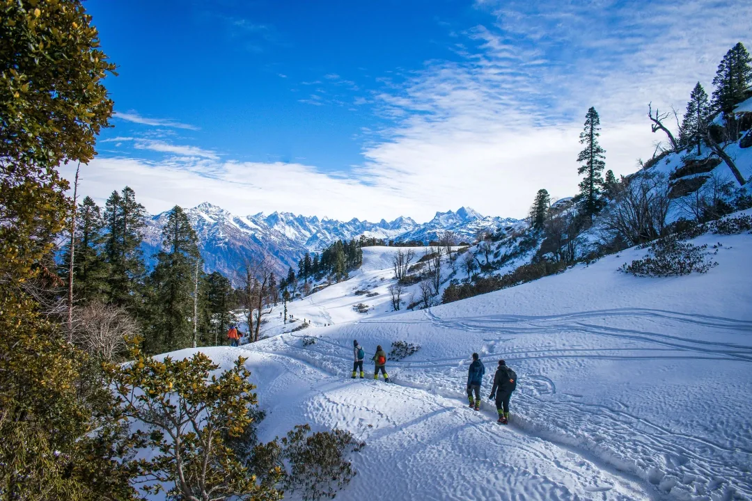
Trek Distance 13 km – 7/8 Hours journey Mode of journey – On foot – 13 km Altitude – Borasu pass – 5450 Meters Night Stay – on twin share basis Today descends to is a long day trek and you need to start early morning. Have your breakfast and start soon. Reaching Borasu Pass from Upper Lamjunga is about 13 km Head towards the borasu Pass, both of the Pass and Glacier are visible. There are big rocks on the way, and you have to pass through this section. Use your ice axe to cut the thick snow and move further. Now, cross steep ridges and reach the left ridge and start ascending, it may take some hours as the climb is tough. Go further and the rocks there indicate towards the pass, after three hours you can reach Borasu Pass summit. Reach there and encounter snow all over the White Mountain peaks, fields and glacier. Snow-covered mountains captivate everyone! Now, plan your descent and it is going to be difficult and steep, you will be needing ice axe, Rope, and with your guide, porters help to slide down the steep snow and ahead it becomes level. After some time of descending witness, frozen waterfalls and the ascent starts now, crosst it and get a glance at Bonga campsite. Continue walking and after crossing a stream come across a green meadow, this is the campsite for today and from here beautiful Bonga peak is visible. This campsite is extremely beautiful with green meadows around, crystal clear streams and view of snowy mountains, they all together make a picturesque sight. Rest here, have your dinner and enjoy relaxing in tents
- 8
Day 8
Trek from bonga camp to Chitkul Village this is the last village
Distance – 11 km – 6 /7 Hours journey Mode of journey – on foot Altitude – Chitkul Village – 3450 Meters Today last breakfast with team Trek on India – Bonga camp Today is the last day of Borasu Pass trek, the initial trail is full of loose rocks and beautiful view. Take the trail which follows the stream, cross it and walk on the rocky terrain and further across several streams on the way. Therefore, the trail becomes levelled and there are rocks kept together by shepherds as their settlement. Here, a clear stream flows in between of a meadow. Continue walking and witness abundant wildflowers and vegetables which are used by shepherds. Trek through the dense forest, at the end of the forest trail, Rani Kanda with the Beas River can be seen. Continue your descents and reach Rani Kanda. Rest here for some-time and leave for Chitkul village, the trail is flat and well defined, you have to cross bridges to go further, continue your trek, cross a stream and reach Chitkul village. Finally, there are wooden houses and grassy fields very friendly people, talk to the villagers and know about their lifestyle.